 THE AFRICAN COURIER. Reporting Africa and its Diaspora! The African Courier is an international magazine published in Germany to report on Africa and the Diaspora African experience. The first issue of the bimonthly magazine appeared on the newsstands on 15 February 1998. The African Courier is a communication forum for European-African political, economic and cultural exchanges, and a voice for Africa in Europe.

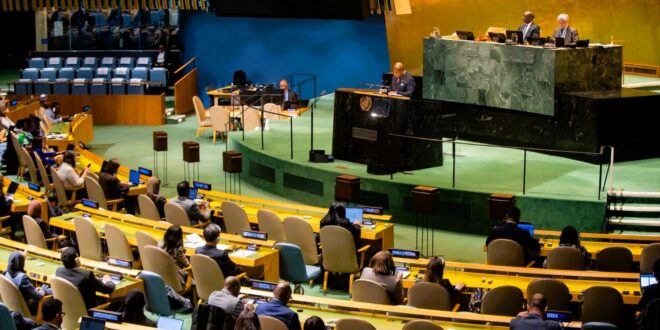
The United Nations General Assembly has overwhelmingly endorsed an African-led initiative to promote world maps that more accurately reflect the actual size of continents. For Africa, the campaign is about more than cartography: it challenges a visual representation that has shaped how generations have understood the continent’s place in the world.
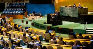
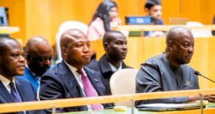
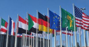
In a striking diplomatic victory for African states, the UN General Assembly on 4 September 2026 adopted the “Correct the Map” resolution, sponsored by Togo on behalf of the African Group. The vote was 164 in favour, one against and six abstentions, with the United States the only country voting against.
The resolution encourages governments, schools, international organisations and other institutions to promote map projections that give a more accurate picture of the relative size of the world’s regions, particularly Africa. It specifically points to the Equal Earth projection as an appropriate alternative. Click HERE for an Equal Earth projection map that preserves relative area measure between any and all map regions.
Why does the map matter?
For readers new to the debate: the Mercator projection, devised by the Flemish cartographer Gerardus Mercator in 1569 for sea navigation, distorts land masses by stretching those farther from the equator. On a standard Mercator map, Greenland appears roughly the same size as Africa, though Africa’s land mass is about 14 times larger.
Having become the default in classrooms and atlases worldwide during the colonial era, campaigners argue the map has quietly shaped global perceptions of Africa as marginal.
The alternative now being promoted, the Equal Earth projection, was developed in 2018 by a small team of cartographers and shows countries at their correct relative area. The African Union formally endorsed the map in March, after which Togo led months of diplomatic groundwork to bring the issue before the UN General Assembly.
Africa’s case goes beyond geography
African countries argue that maps can influence perceptions, particularly when introduced to children through schoolbooks and classrooms. The campaign therefore connects geographical accuracy with a broader effort to challenge historical representations of Africa and the legacy of colonialism.
Togo’s Foreign Minister Robert Dussey has argued that changing the map is not an attack on Europe or any other region, but an attempt to ensure that Africa is represented according to geographical reality. Togo says it intends to update its own school materials and encourage wider adoption by governments, educational institutions and technology companies.
The resolution, however, does not ban the Mercator projection and is not legally binding. It also explicitly leaves its established use in navigation unaffected.
For Africa, the significance of the UN vote therefore lies less in replacing one map overnight than in changing the conversation about how the world is represented—and how Africa sees itself and is seen by others.
Vivian Asamoah